

Find your own perspective.
360° experience created by YouSee360
Parcel availability in the tour is kept up to date by Arbor Eden. Tap any parcel to fly over it, stand on the land and ask about it. Boundary lines are approximate; the official cadastral plan establishes legal boundaries.
Take the long way around.
Begin with the aerial overview to understand how the parcels relate to one another. Follow the scene markers to explore closer views, and use the original viewer’s menu to navigate. Open the tour separately for more room.
The viewer has its own controls. If using it is difficult, the parcel pages below offer text and photographs, and we can arrange a personal video walkthrough.
Make it a conversation.
Keep a note of the parcel numbers and features that interest you. We can discuss your priorities, clarify current information, and plan an on-site visit.
A request starts a conversation; it does not book a confirmed appointment.

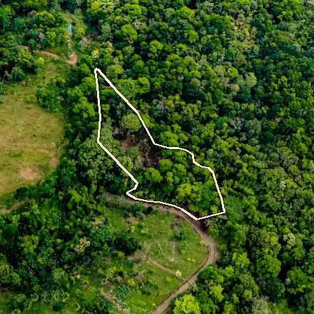 From above
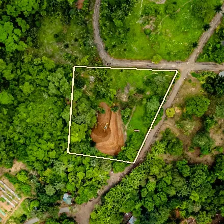 From above
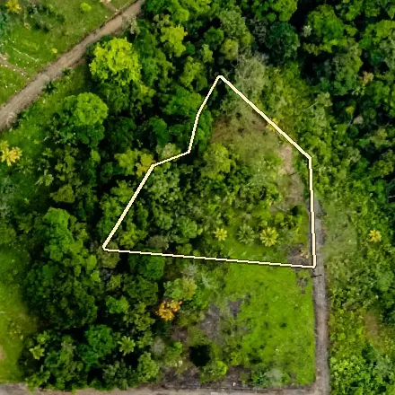 From above