
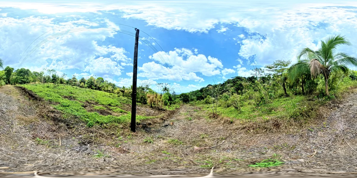
PARCEL 19 · YOUR OWN PERSPECTIVE
Stand inside the landscape.
Drag to look around. Use the buttons or focus the panorama and use your keyboard. Scroll continues down the page; zoom with the controls.
Historical imagery. Vegetation and site conditions may have changed. These panoramas do not establish legal boundaries, buildable area, water rights or current availability. Illustrated boundaries in the original tour are approximate.
What makes this parcel worth exploring.
The tour records both a mountain stream and a pond, with fruit trees, palms and tropical hardwoods. Several ground panoramas are associated with this parcel, offering different places to pause and look around.
Description based on the original tour notes, reviewed October 3, 2026. It describes historical references, not a current site inspection.
Bring these questions to your walkthrough.
- Where are the surveyed boundaries and the feasible home locations?
- What are the current access, drainage and utility conditions?
- Which water features are within or beside the parcel, and what restrictions apply?

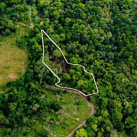 From above
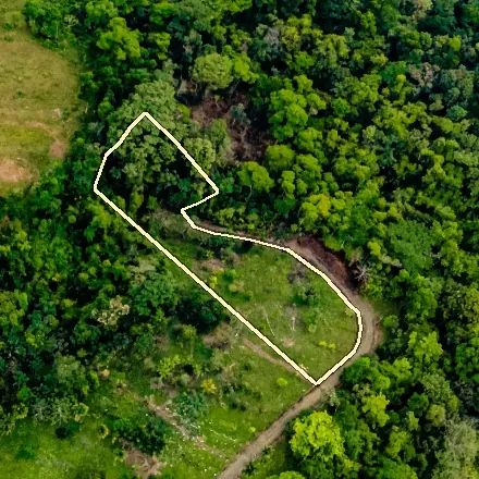 From above
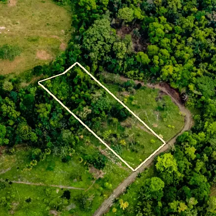 From above